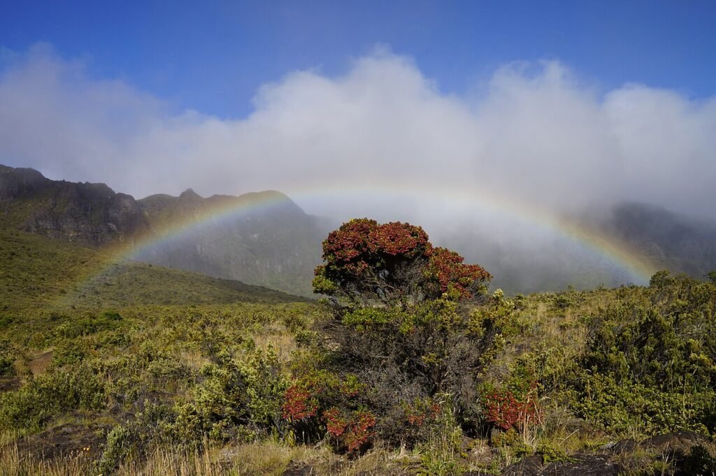
Sliding Sands—officially Keoneheʻeheʻe Trail—creates one of Haleakalā’s most dramatic hiking experiences, but the route has an unusual psychological trap: the beginning is downhill. The easy-feeling descent happens at high altitude, and every foot you lose into the crater becomes part of the climb back out unless you complete a longer point-to-point route.
The best plan is to choose your turnaround before the descent starts.
Sliding Sands distance choices
| Option | What the National Park Service says to expect |
|---|---|
| First overlook | About 0.5 mile round trip for a short crater view |
| Crater floor | About 3.9 miles downhill one way, with roughly 2,500 feet of elevation change |
| Cross-crater route | Popular longer combination with Halemauʻu; roughly 11 miles and requires transport planning |
| Difficulty multiplier | High altitude, exposure, weather, and the uphill return |
Altitude affects people differently
Haleakalā’s summit area is above 10,000 feet. The National Park Service warns that lower oxygen can make exertion harder. Headache, nausea, unusual shortness of breath, dizziness, or poor coordination are reasons to take symptoms seriously.
A person who hikes comfortably at sea level may feel very different at the summit. Give yourself time to assess how you feel before committing to a deep descent.
The hike gets harder after the easy part
NPS emphasizes a simple rule: descending first means the return is harder. Do not measure your energy only by how comfortable the first downhill miles feel.
Set a conservative turnaround using time, elevation, weather, water, and the least-conditioned person in the group. Turning around early is good mountain judgment, not a failed hike.
A short crater walk can still be worthwhile
You do not need to reach the crater floor for the landscape to feel extraordinary. The first overlook is a practical choice for visitors who want to experience the trail without turning a summit visit into a demanding half-day hike.
This is especially useful when your itinerary already includes sunrise, a long drive, or another activity later in the day.
The point-to-point route requires transport planning
A common longer hike combines Keoneheʻeheʻe with Halemauʻu, ending at a different trailhead. The park does not operate a hiker shuttle between those trailheads.
Do not begin a point-to-point route assuming transportation will appear at the end. Arrange your vehicle plan before leaving the summit.
Weather can change faster than your itinerary
Haleakalā can be sunny, cold, windy, cloudy, or wet in combinations that surprise visitors arriving from the coast. Carry layers, sun protection, water, and enough food for the route you actually intend to walk.
Use the park’s current weather and alerts before departure. Our Hawaiʻi hiking-safety guide covers closure checks, daylight, rain, and when an outdoor plan should change.
Do not combine a demanding hike with an overloaded summit day
If sunrise is your priority, use our Haleakalā sunrise-versus-sunset guide first. A pre-dawn start, altitude, cold, driving, and a long crater hike can add up quickly.
The Maui seven-day itinerary treats Haleakalā as a major day rather than a stop to squeeze between unrelated attractions.
Use time as a turnaround rule, not just distance
Before starting, choose the latest time you are willing to begin the climb back toward the summit. Then turn around at that time even if your planned landmark is still ahead. This protects daylight, weather margin, and the energy reserve needed for the uphill return.
A conservative hiker can also use a “one-third down, two-thirds back” effort mindset because the return climbs at altitude. The exact ratio varies by person, but the principle is sound: do not spend half your energy on the easy descent.
Who should choose the short overlook instead
The shorter crater view may be the better choice for travelers newly arrived from sea level, anyone already feeling altitude symptoms, people with limited time, or groups planning another strenuous activity the same day.
You still experience the summit landscape without committing to thousands of feet of elevation loss.
Carry more water than the cool air suggests
High elevation and cool wind can disguise dehydration. Carry water, food, sun protection, and layers before leaving the developed summit area. Do not depend on finding services once you are deep on the trail.
If weather begins closing in or a person in the group feels unwell, turn around while the decision is still easy.
Sources and review
Reviewed October 30, 2026 using Haleakalā National Park’s official hiking guidance. Trail access, weather, closures, and park operations can change; check current NPS alerts before driving to the summit.
Featured photograph: Haleakalā near Palikū, photographed in 2012 by Maurice Chédel. CC0, via Wikimedia Commons.